YT FB
Get in Touch
Al Jubaer
⭐ Featured Member

Al Jubaer

MSc (GIS & RS)

GIS Specialist & Data Scientist | Co-founder, River People Planet 6+ years Bangladesh 🌍 Bangladeshi

GIS Specialist, Remote Sensing Expert, Data Scientist, and Web Developer with 780+ projects. Co-founder of River People Planet and conservation documentary filmmaker. Combines deep geospatial expertise with digital storytelling to document and protect the world's rivers.

GIS (Geographic Information Systems) Remote Sensing & Satellite Image Analysis Data Science & Machine Learning Web Development (Full-Stack) Graphics Design & Data Visualization Python & R Programming Drone (UAV) Aerial Photography & Mapping Database Management & SQL Environmental Mapping & Spatial Analysis Documentary Filmmaking & Conservation Media
River People Planet
6+ Years Exp.
📄 1 Publications
🌍 5 Field Sites
🤝 4 Partners
🏆 5 Awards

Biography

Al Jubaer is a GIS Specialist, Remote Sensing Expert, Data Scientist, and Web Developer with 780+ completed projects spanning GIS, Remote Sensing, Graphics Design, Data Science, and Web Development (as of August 2025). As co-founder of River People Planet, Al Jubaer combines technical expertise in geospatial technologies with a deep passion for river conservation and storytelling.

He leads the digital and visual production of the River People Planet platform — building interactive maps, data visualizations, and documentary-style video content that brings river stories to global audiences. His technical work includes drone aerial documentation of Bangladesh's major river systems (Jamuna, Padma, Sundarbans), interactive web mapping using Leaflet and MapBox, machine learning applications for satellite imagery analysis, and the complete technical development of the riverpeopleplanet.com platform.

Al Jubaer has co-authored peer-reviewed research with Professor Sheikh Tawhidul Islam of Jahangirnagar University, published in the International Journal of Disaster Resilience in the Built Environment (Emerald Insight, 2022) — focusing on waterlogging mitigation and safe water supply in Basirhat Municipality, India. His portfolio at aljubaer.pages.dev showcases his broad expertise across GIS analysis, environmental mapping, data science and web development.

Specializations

Spatial Data Analysis for Environmental MonitoringRiver Morphology and Delta MappingFloodDisaster and Cyclone Spatial AssessmentInteractive Web Mapping (LeafletMapBoxGoogle Maps API)Machine Learning for Geospatial DatasetsConservation Storytelling through Visual MediaPhotography and Drone Cinematography for NGOsWordPressReactPHP DevelopmentClimate Data Visualization & Infographics

Research Interests

River People Planet — conservation media and digital advocacy
GIS applications in river ecology and watershed management
Remote sensing for environmental monitoring and land use change
Data-driven approaches to conservation communication
Waterlogging and safe water supply in urban/peri-urban areas
UAV/drone mapping for river system documentation
Machine learning applications for satellite imagery classification

Academic Qualifications

GIS, Remote Sensing & Data Science (Advanced Professional)

Continuous Professional Development & Self-directed Training

📅 Ongoing

Languages

BengaliEnglish

Journal Articles & Book Chapters

1 work
1

Dey, A., Islam, S.T., Paul, B.K., Bandyopadhyay, S., Sengupta, P., Sanyal, N., Mondal, K.P., Jubaer, A. & Mitra, R. (2022). Waterlogging Mitigation and Safe Water Supply: Lessons Learnt from Low-Lying Areas of Basirhat Municipality, India. International Journal of Disaster Resilience in the Built Environment, Vol.13(3), pp.386–403. DOI: 10.1108/IJDRBE-03-2021-0024. Emerald Insight.

No professional projects listed yet.

Fieldwork Locations

📍Jamuna River (Brahmaputra), Bangladesh — drone aerial documentation and GIS mapping
📍Sundarbans Delta, Bangladesh — river delta, conservation fieldwork, biodiversity documentation
📍Padma River Basin, Bangladesh — river morphology and community documentation
📍Various river systems, Bangladesh — documentary filming, UAV surveys, field data collection
📍Sylhet Haor Region — wetland aerial photography and mapping

Work Activities

GIS mapping and spatial data analysis for conservation and development projects
Drone (UAV) aerial photography and video documentation of river systems
Data science and machine learning for environmental satellite datasets
Full-stack web development and interactive mapping tools
Graphics design and data visualization for conservation communication
Managing River People Planet digital platform, social media and content
Directing documentary video content about rivers and communities
Remote sensing analysis for land use change and disaster assessment

Key Contributions

Founded River People Planet as professional conservation media and research platform
Built 780+ GIS, data science and web development projects for clients worldwide
Produced drone aerial footage and video documentation of Bangladesh river systems
Developed and maintains riverpeopleplanet.com — full technical infrastructure
Co-authored peer-reviewed research on waterlogging and water supply in India (2022)
Created interactive video maps and data visualizations for river conservation
Directed documentary-style video content about rivers and conservation

Collaborations & Partners

🤝Prof. Sheikh Tawhidul Islam — Jahangirnagar University, Bangladesh (Joint Research & RPP)
🤝River People Planet — International conservation media team
🤝International Rivers Community — global conservation advocacy
🤝NASA/SERVIR data utilization — satellite data for environmental projects

Awards, Honours & Achievements

780+ completed projects across GIS, Remote Sensing, Data Science, Web Development & Graphics Design (August 2025)

Co-author, peer-reviewed international journal article (Emerald Insight, 2022) with Prof. Sheikh Tawhidul Islam

Co-founder and Director, River People Planet — conservation media platform

Professional portfolio: aljubaer.pages.dev / aljubaer.dev

Full-stack technical development of riverpeopleplanet.com platform
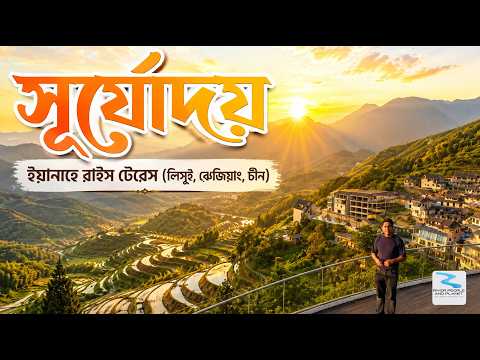
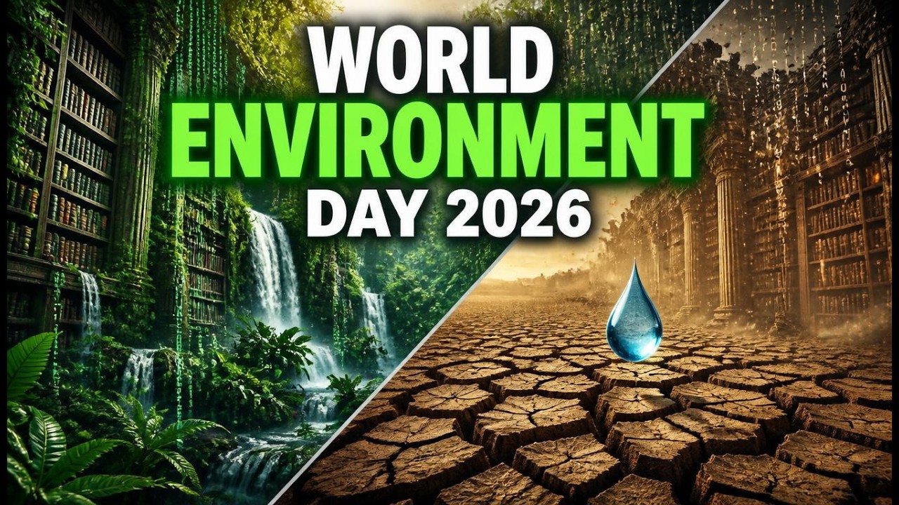
Documentary Films

River People Planet — Field Documentaries

Series of short conservation documentaries documenting rivers, communities and conservation efforts across Bangladesh.

📧 Stay Connected

Join Our River Community

Get inspiring stories, conservation updates, and exclusive content delivered to your inbox every week.

🔒 No spam. Unsubscribe anytime.